For many, a winter blizzard usually involves hunkering down, bundling up, and staying close to home . . .
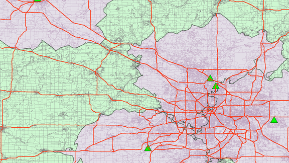
Adequacy of Provider Networks in the Health Insurance Marketplace
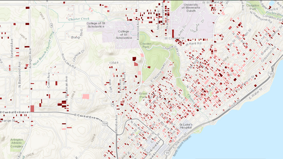
Impact of Split Incentive on Privately Owned UMD Student Rental Housing with Implications for an Energy Saving Housing Initiative

GAC assists UMD's Bureau of Business and Economic Research with housing study.
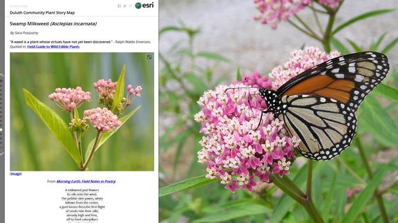
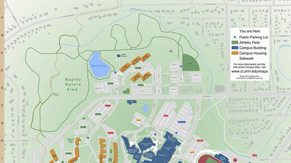
Introducing ArcGIS Online and Story Mapping to Multi-Disciplinary Classes at UMD
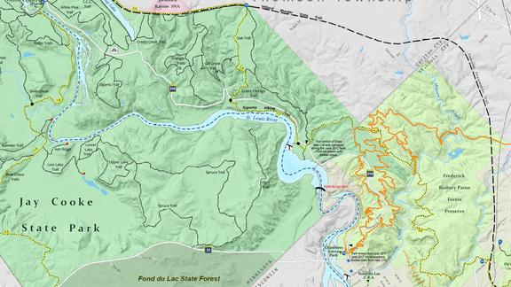
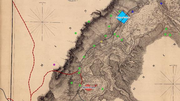
GIS of Culturally Significant Features, Spirit Mountain Area, Minnesota