“This mission started in the early 2000’s and I joined the science team in 2015,” said Kelly. Kelly is an Associate Professor with the Large Lakes Observatory (LLO) and UMD’s Physics & Astronomy Department. He got involved in this project due to his expertise in removing the impact of tides when measuring sea levels. At some point, Kelly realized he had more to contribute. “All these people, a big group of more than 100 scientists, and no one was talking about the Great Lakes. It’s totally understudied.”
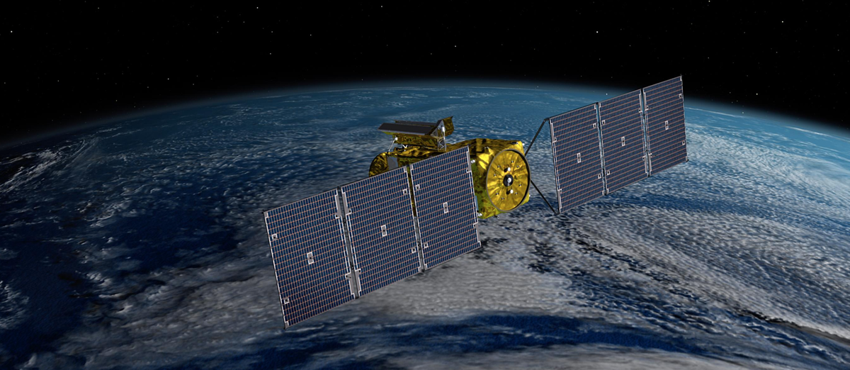
Being a scholar on the shores of Lake Superior, Kelly is focused on studying the Great Lakes and this satellite promises a treasure trove of data. The satellite will produce high resolution maps of earth’s oceans and will be able to measure, within a few millimeters, the height of every lake on earth that is more than one kilometer wide. “There are thousands of lakes in the Canadian arctic that we don’t know much about,” said Kelly. “We’ll even be able to measure the slope of rivers. It’s going to provide a crazy amount of information for water scientists.”
And why is this important? According to an official statement from NASA, “Tracking Earth’s water budget – where the water is today, where it’s coming from, and where it’s going to be tomorrow – is critical to understanding how the planet’s water resources are changing and the impact those changes have on the local environment.”
Kelly adds, “This satellite will change our understanding of the Great Lakes. The technology is right at the resolution needed to measure their surface currents which has never been done at this scale before. That could tell us where harmful algal blooms may show up, where pollution is going, where fish larvae are moving through the lakes, there are a lot of practical things we can learn by knowing more about how surface currents work in the Great Lakes.” A two-year NASA grant will give Kelly the chance to focus on mapping these currents.

SWOT data will also be used to monitor drought conditions and improve flood forecasts, providing information to water management agencies, disaster preparedness agencies, universities, civil engineers, and others who need to track water in their local areas. Industries, like shipping, will be able to get measurements of water levels along rivers, as well as ocean conditions, including tides, currents, and storm surges.
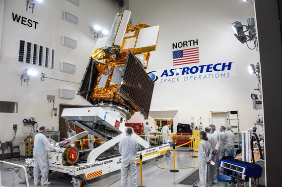
The satellite is packed with high tech instruments to make all of this possible and was launched into space via a rocket at Vandenberg Space Force Base in California. It is a collaborative effort led by NASA and the French space agency Centre National d’Études Spatiales (CNES). Kelly said there will be a six-month testing period and eventually a terabyte of data per day will be downloaded for people to access from around the world. “I can’t say with 100% certainty that it's all going to work perfectly,” said Kelly, “But it's exciting, and I have high hopes.”
Link to more materials
Additional Images from JPL & NASA
Video of launch from NASA YouTube channel
