“Pick up any newspaper in the region and it is clear that changing water levels, algal blooms, the intensification of storms, and other climate-driven disturbances are increasingly threatening coastal communities around the Great Lakes,” says Ryan Bergstrom, a UMD assistant professor in the College of Liberal Arts' Department of Geography and human-environment geographer.
Bergstrom is the principal investigator on a new, $500,000, Research Coordination Network (RCN) grant awarded by the National Science Foundation. The initiative, called the Climate and Governance Variability in the Great Lakes Project, will address pressing questions about the nature of climate-drive variability on Great Lakes shorelines; the synchronicity between natural variability and social change; and the feedbacks and couplings between one of Earth’s largest fresh water sources and a large, intensive social-ecological system on its shores.
 Ryan Bergstrom (l), with co-principal investigators Robert Sterner (c), director of UMD’s Large Lakes Observatory and Lucinda Johnson (r), associate director of UMD’s Natural Resource Research Institute.
“This is an amazing opportunity to bring scientists, practitioners, and decision makers together to better understand how coastal communities can respond to the unpredictable timing, intensity, and sheer number of disturbances that are occurring,” Bergstrom says.
The Great Lakes have more shoreline in the continental U.S. than the combined coasts of the Atlantic and Pacific Oceans, and they affect the livelihoods of people in eight U.S. states, as well as the Canadian province of Ontario. Extremes in air temperature, precipitation, and other impacts of a changing climate are increasingly threatening the sustainability of coastal communities in the Great Lakes.
The program has many facets.
1) Train early career scholars how to conduct interdisciplinary research in the integration of social and ecological systems,
2) Train participants through collaborative and synergistic activities associated with the Research Coordination Network (RCN), and
3) Provide decision makers and stakeholders with information that can solve tangible community problems.
The RCN will work closely with practitioners from private and non-profit industry, and local, state, federal, and tribal governments and agencies.
About the UMD Geography Program
About the Large Lakes Observatory
About the Natural Resource Research Institute
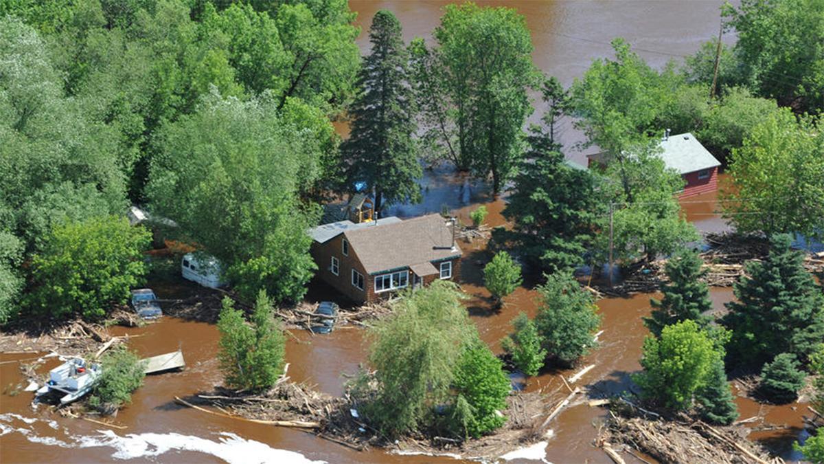
Banner photo (above): U.S. Coast Guard public domain photo of St. Louis River in the Fond du Lac neighborhood of Duluth during the 2012 flood.