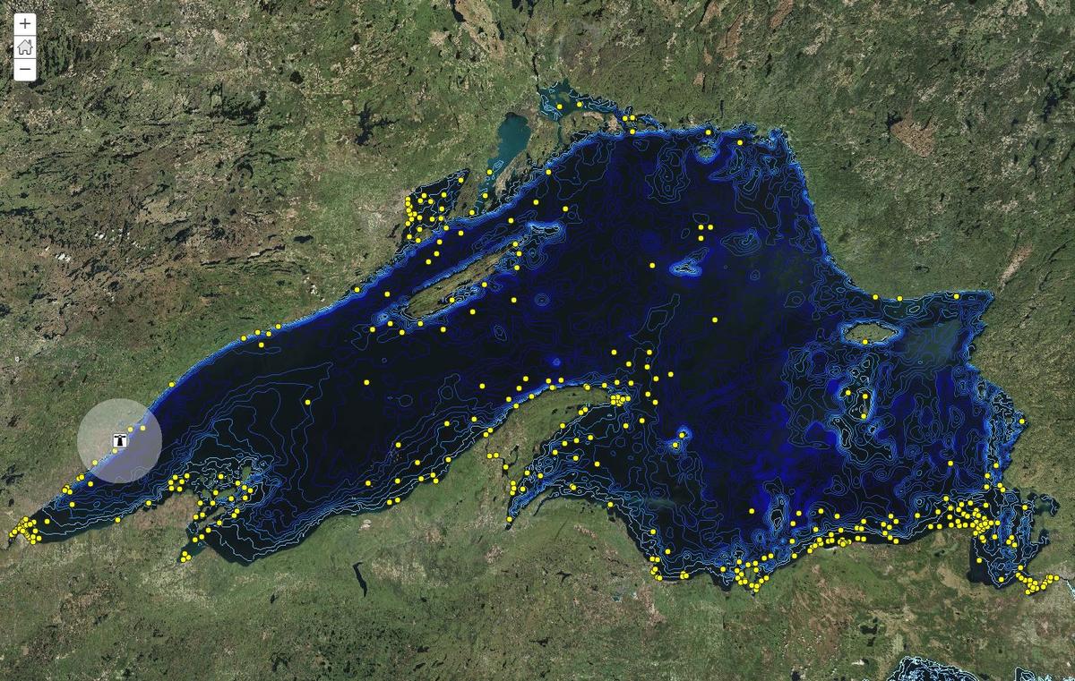
GAC is collaborating in a $5,000 grant from Esri and a $2,000 matching grant from the MN GIS/LIS Consortium to create geoinquiries, which are short, pre-built activities that allow K-12 teachers to cover required content using a free, online, interactive map. The activities are standards-based and closely follow the map concepts taught in leading U. S. textbooks. Topics covered in these Minnesota-based geoinquiries include Lake Superior shipwrecks, treaties, agriculture, fur trade, industry and immigration.
Creating K-12 activities using interactive web maps